Industries Overview
Custom flight protocols and deliverables matched to how your sector actually works.
Orthomosaics, LiDAR, and Topography with guaranteed 0.1′ accuracy. Trusted by Surveyors and Civil Engineers to mitigate risk.
Standard drone operators rely on GPS. We rely on physics and ground truth. Every project by Drone Baseline Solutions is anchored by a minimum of 5 Ground Control Points (GCPs) and verified against independent Checkpoints using survey-grade GNSS rovers.
We do not deliver data until it passes our internal RMSE thresholds. You receive a full Accuracy & Processing Report with every orthomosaic and point cloud, proving the data fits your existing survey control.
View Sample Calibration Report| Specification | Standard |
|---|---|
| Vertical Accuracy (RMSEz) | < 0.10 US Survey Feet |
| Horizontal Accuracy (RMSExy) | < 0.08 US Survey Feet |
| Validation Method | ASPRS Positional Accuracy Standards |
| Geodetic Datum | NAD83 / NAVD88 (or Local Grid) |
| Equipment | RTK/PPK Multi-Frequency GNSS |
Purpose-built deliverables for the teams that depend on accurate ground truth.
Custom flight protocols and deliverables matched to how your sector actually works.
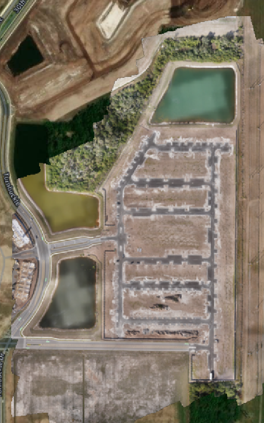
Boundary-ready topography and ALTA-grade deliverables your PLS can stamp with confidence.
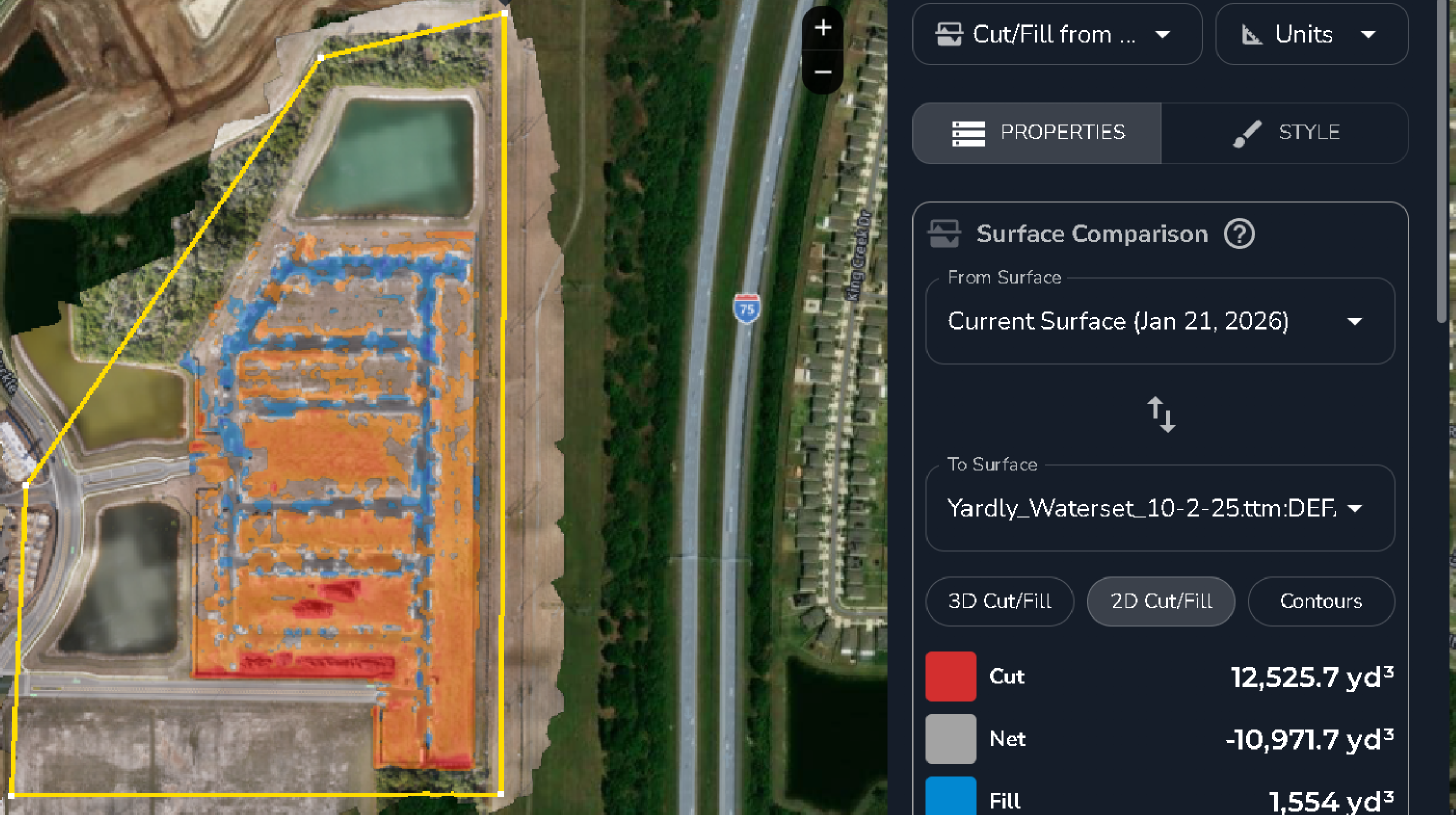
Verified cut/fill and volumetrics that keep earthwork pay quantities honest.
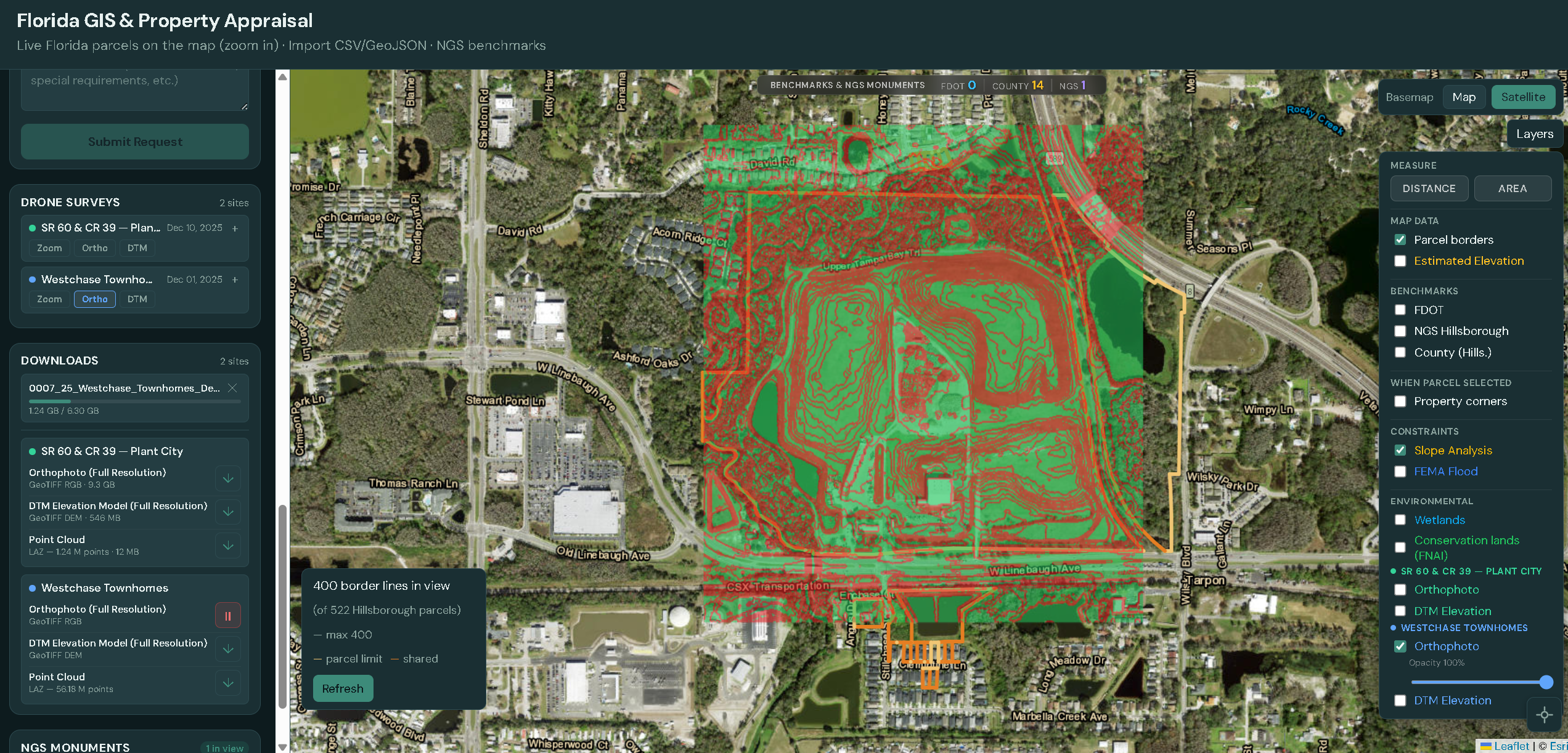
LiDAR-accurate scans and thermal inspection without putting crews at height.
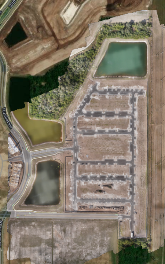
Defensible landfill volumes and airspace tracking that hold up to regulators.
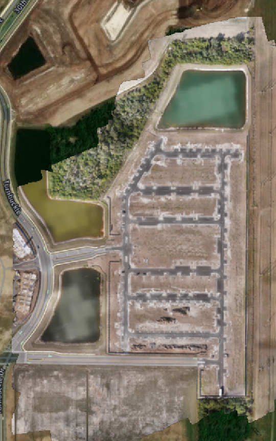
Rapid post-event mapping and FEMA-ready documentation when timing matters most.
Cinematic aerials and progress imagery that make the project sell itself.